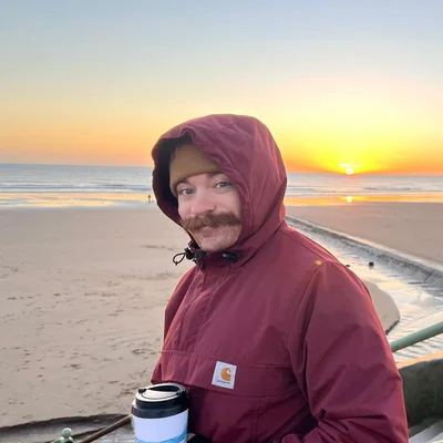
I'm a data scientist focusing on geospatial pipelines and analysis, primarily on Azure/AWS & Databricks.
I'm passionate about making geospatial data accessible through modern formats like STAC, Cloud-Optimised GeoTIFFs, and GeoParquet.
I've recently been utilising geospatial foundation models and embeddings to identify potential brownfield land for the UK Government. Have a read of the project to see what we've been up to.
I also have a blog for write-ups on projects and things I'm learning.